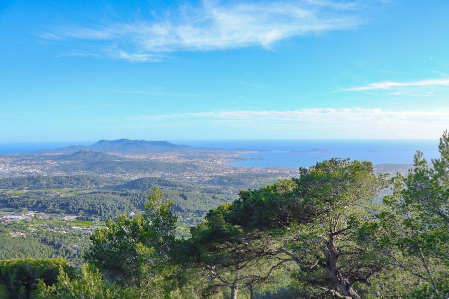
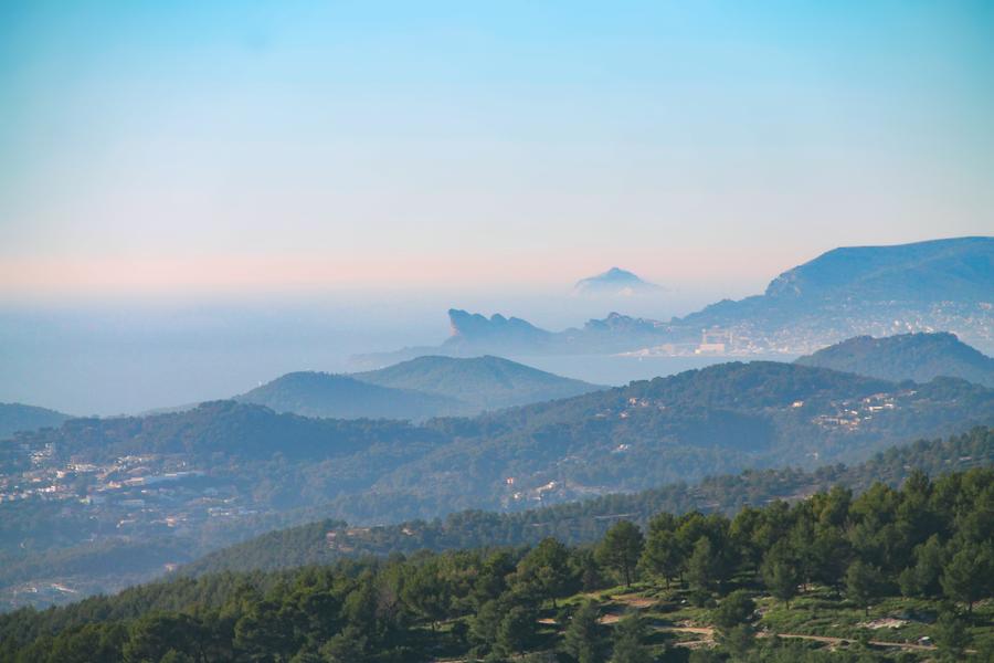
Nice hike on the heights of Ollioules and Sanary, off the beaten track. Exceptional viewpoint on the coast, from La Ciotat to Porquerolles, and on the Cadière-d'Azur up to Revest, the Sainte-Baume mountain range and the Ollioules gorges.
DEPARTURE / ARRIVAL: Chemin de Sainte Trinide, parking at the foot of the Olive Garden, near the Animal and Botanical Park ZOA.
COMMON TRAVEL : Sanary-sur-Mer, Ollioules
BUILDINGS: red
At the start of the itinerary, take the road "chemin de Sainte- Trinide", in the North-East direction, following the red markings.
At the intersection, continue straight on the road "De la Piole Paul Venel". A few hundred metres further on, be careful, the circuit leaves the asphalt.
Turn left onto a path lined with cranks.
There is an information board at the entrance with information on the hiking trails. Follow this path. Walk past an old lime kiln and continue straight ahead.
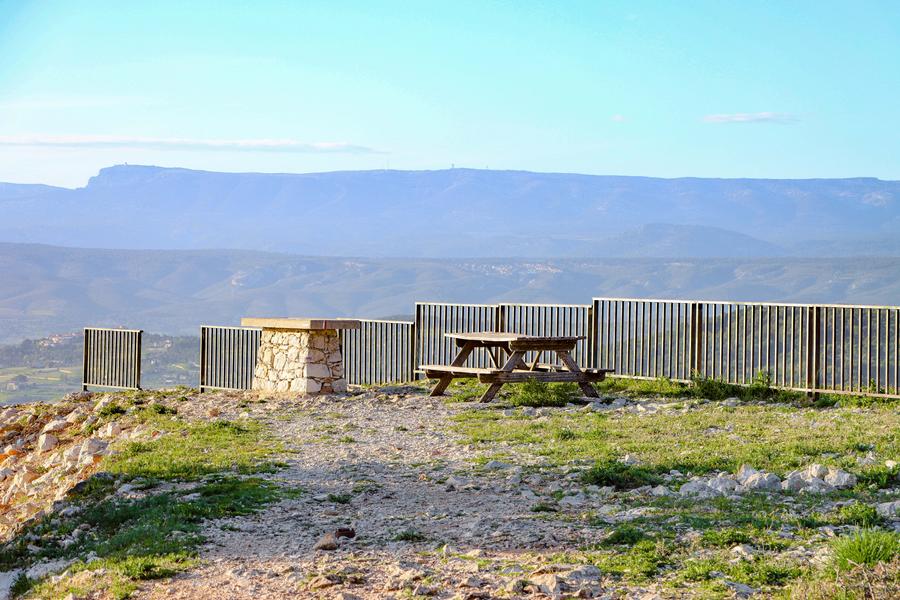
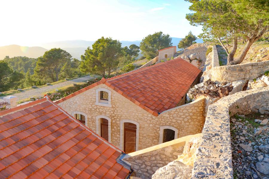
At the next junction, take the path on the left and continue upwards to the Gros Cerveau road. Cross the road and take the path on the right. You are on the GR 51. Follow it up to the military fort of Le Gros Cerveau. When you arrive at the fort, leave the GR 51 on your left and pass in front of the fort. Continue on the track which goes down to the road. Take it on your right and continue until the end of the asphalt.
At this point, take the track on your left for 50 m and between two large Aleppo pines, take the path that goes down on the left. You arrive on a new track. Turn right. Follow this one for a few hundred metres. After a hairpin on the right, be careful, the route leaves the track to take a path on the left, not very visible in the firewall.
Follow this path. You will come back to the start of the loop. At this point, take the original route back in the opposite direction, which takes you back to the car park.
Pets allowed : yes
Details about animals : Pets allowed on a leash only.
How to find us : Departure / Arrival: Chemin de Sainte Trinide, parking at the foot of the Garden of Olives, near the Animal and Botanical Park ZOA.
Average visit duration : 6h
Type of route : loop
Marked route : yes
Distance : 13km
Elevation : 700m
Positive slope : 700m
Negative slope : 700m
Duration : 6h
Details concerning the marking
Red beaconing
Tricky passages
A gravelly ascent, a steep and stony steep slope and a tricky section (steep and gullied descent) will be found on the Belvedere path.
Environment
- Close to GR footpath
Customers
Tips
🥾 Precautions to take: Make sure to bring enough water and extra food. 📱 Equip yourself with good walking shoes and a fully charged phone. 🆘 In case of emergency, dial 112.
⚠️ Every summer, the Var Prefecture regulates the access, circulation, and parking on certain roads leading to the 9 forested areas in the Var region. This system informs walkers about access possibilities to the forest areas and ongoing work in the forests.
In summer, always check the Var forest access map before going on any hike.
➡️ https://www.risque-prevention-incendie.fr/var/index.html
Attention, as every year during the summer, from mid-June to the end of September, the Var Prefecture regulates access, circulation, and parking on certain roads leading to the 9 forested areas in the Var region.
🚫 The Gros Cerveau massif is inaccessible by car during this period. Information is updated daily during the summer period: https://www.risque-prevention-incendie.fr/var/index.html.